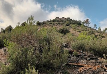
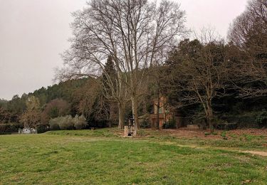
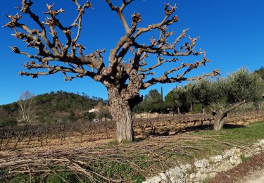
Tour Wandern Le Val - Le Cuit - Photo
 Greg813
Greg813

Benutzer

© OpenStreetMap contributors
Länge
Länge
12 km
Maximale Höhe
Maximale Höhe
520 m
Positive Höhendifferenz
379 m
Km-Effort
Km-Effort  
17,1 km
Min. Höhe
Min. Höhe
243 m
Negative Höhendifferenz
379 m
Boucle
Boucle
Ja
Erstellungsdatum :
2019-02-16 13:41:13.53
Letzte Änderung :
2024-07-27 09:07:12.48

(0 Nachricht)

Wandern
Wandern
3h52
Schwierigkeit : Schwierig

Scannen Sie diesen QR-Code, um die Tour in der SityTrail-Anwendung zu öffnen

Kostenlosegpshiking-Anwendung

Logo SityTrail SityTrail

IGN / Geografische Institute

SityTrail aus dem App Store herunterladen SityTrail von Google Play herunterladen

Logo SityTrail SityTrail World

Die Welt öffnet sich für Sie

SityTrail aus dem App Store herunterladen SityTrail von Google Play herunterladen SityTrail auf Huawei AppGallery herunterladen

Über SityTrail

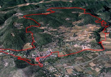
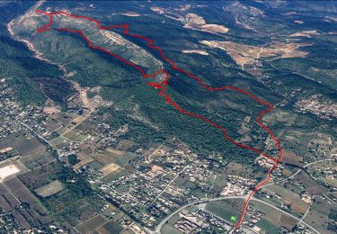
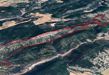
Tour Wandern von 12 km verfügbar auf Provence-Alpes-Côte d'Azur, Var, Le Val. Diese Tour wird von Greg813 vorgeschlagen.

Beschreibung

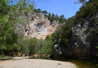
Depuis Le Val, randonnée dans les hauteurs jusqu'à Le Cuit. Assez ombragé sur le début.

Höhenprofil

Foto-Galerie

POIs

POI Le Val - Route privée - Photo
Greg813
POI Le Val - Panorama - Photo
Greg813
LE VAL 
POI Correns - Chemin disparu - Photo
Greg813

Ort

Land:
France
Region :
Provence-Alpes-Côte d'Azur
Abteilung/Provinz :
Var
Kommune :
Le Val
Standort:
Unknown
Gehen Sie:(UTM)
262912 ; 4813966 (32T) N.

Touren in der Umgebung

Tour Wandern Correns - Le patrimoine - l'Argens - Le village - Photo
Wandern
GUIDE
affinetataille

Wandern

Einfach
(2)
Correns, Provence-Alpes-Côte d'Azur, Var, France
14,2 km | 18,1 km-effort
6h 0min
Ja
Tour Wandern Le Val - Trace_Le_Val - Photo
Wandern
GUIDE
affinetataille

Wandern

Medium
(1)
Le Val, Provence-Alpes-Côte d'Azur, Var, France
14,6 km | 21 km-effort
6h 0min
Ja
Tour Wandern Le Val - Val Le Cuit 18.04.2015 - Photo
Wandern
GUIDE
fredetpascale

Wandern

Einfach
(2)
Le Val, Provence-Alpes-Côte d'Azur, Var, France
13,4 km | 19,1 km-effort
3h 53min
Ja
Tour Wandern Le Val - Le Mont Cuit par la Grande Muraille - Photo
Wandern
GUIDE
affinetataille

Wandern

Medium
(1)
Le Val, Provence-Alpes-Côte d'Azur, Var, France
14 km | 21 km-effort
6h 0min
Ja
Tour Wandern Correns - Correns - Val Obscur - Rive de l'Argens - Grotte aux Fées - Châteauvert - Vallon Sourn - Photo
Wandern
LtZIP

Wandern

Medium
Correns, Provence-Alpes-Côte d'Azur, Var, France
21 km | 27 km-effort
4h 57min
Ja
Tour Wandern Le Val - circuit des chapelles-le Val-07-09-22 - Photo
Wandern
Christiancordin

Wandern

Medium
(1)
Le Val, Provence-Alpes-Côte d'Azur, Var, France
14,7 km | 22 km-effort
4h 12min
Ja
Tour Wandern Correns - Correns-18-03-22 - Photo
Wandern
Christiancordin

Wandern

Medium
Correns, Provence-Alpes-Côte d'Azur, Var, France
11,9 km | 14,9 km-effort
4h 10min
Ja
Tour Wandern Le Val - Circuit des Chapelle-Le Val-15-01-21 - Photo
Wandern
Christiancordin

Wandern

Medium
(1)
Le Val, Provence-Alpes-Côte d'Azur, Var, France
12,7 km | 18,1 km-effort
4h 29min
Ja
Tour Wandern Le Val - Le Val : Le Cuit - Photo
Wandern
francisdean

Wandern

Schwierig
(1)
Le Val, Provence-Alpes-Côte d'Azur, Var, France
12,9 km | 19,8 km-effort
4h 7min
Ja


Schließen
Meine Abonnements